How to recognise 15 common cloud formations:
How to recognise 15 common cloud formations:

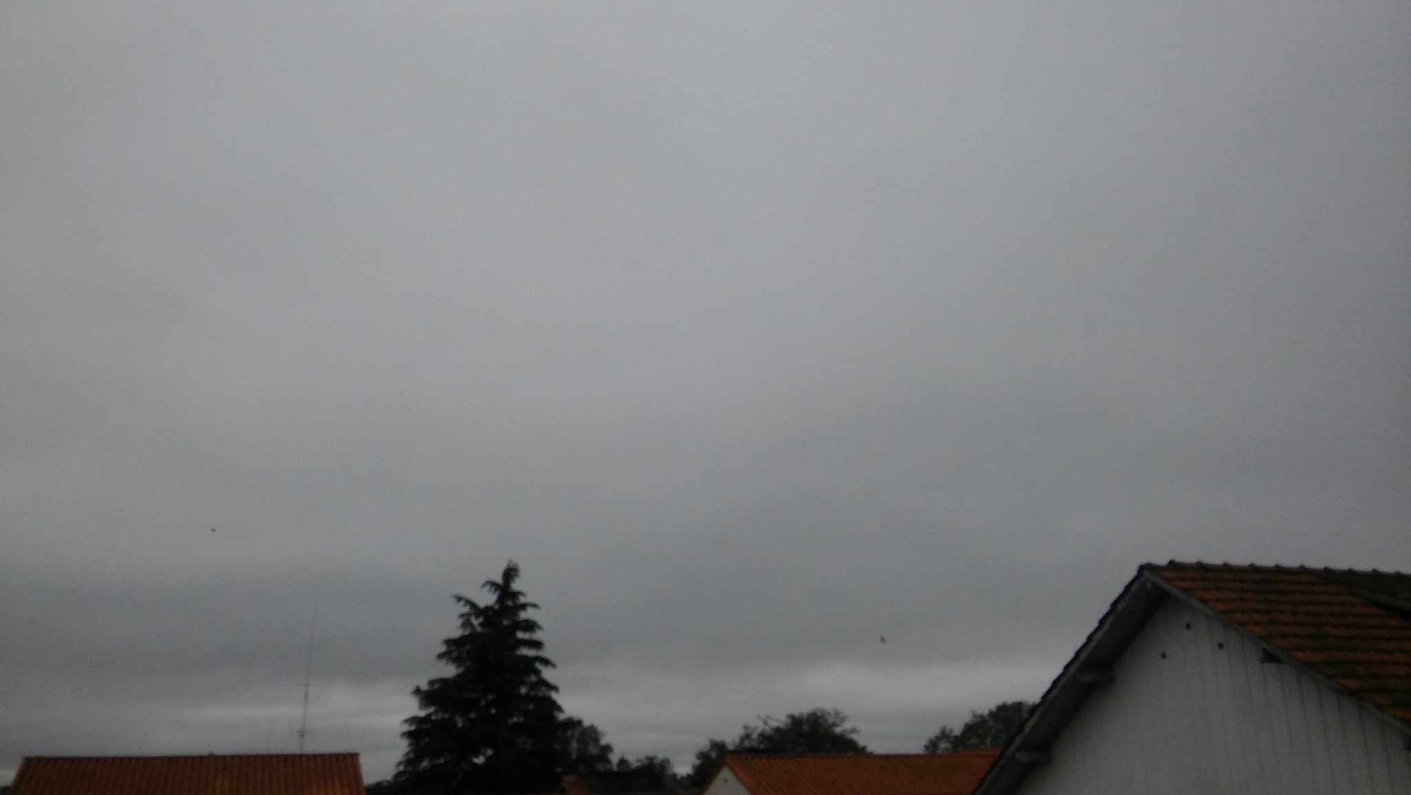
Low-lying clouds which are flat, hazy, and formless. They may produce light drizzle or snow.
Basically fog which is above ground level.
The cumulus is the archetypal cloud: fluffy and white with a clearly defined shape.
Cumulus means "heap" in Latin, referring to their distinctive appearance.
But the cumulus has a few different stages of evolution...
The first stage of cumulus clouds. These are quite "ragged" in appearance, and lack the definitive shape of a typical cumulus cloud.

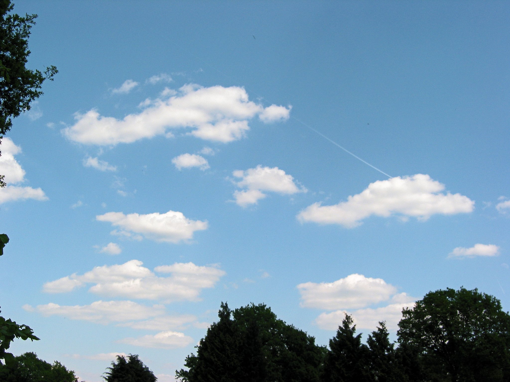
The next stage. Their appearance is fairly flat and shallow, but they are more clearly defined.
Hence the name humilis, meaning humble.
The next stage of the cumulus. These have greater vertical depth than the humilis; the typical cartoon cloud.

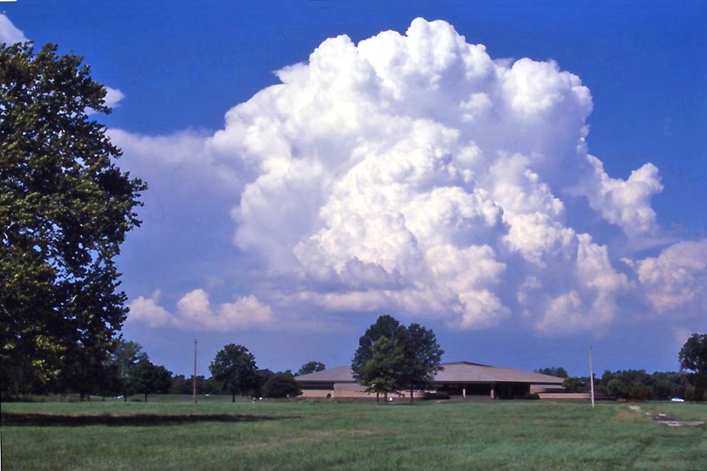
An even more advanced stage of the cumulus. These are very large clouds which can tower into the atmosphere.
Altocumulus clouds are formed of small, shallow, bunched-up masses.
In the altocumulus stratiformis these bunches form very close together in wide, partially transparent layers.
Often followed by rainfall.

The stratocumulus is a cloud formation of big, rounded masses, which are lower and much larger than the altocumulus.
The undulatus stratocumulus appears as parallel lines of these formations.
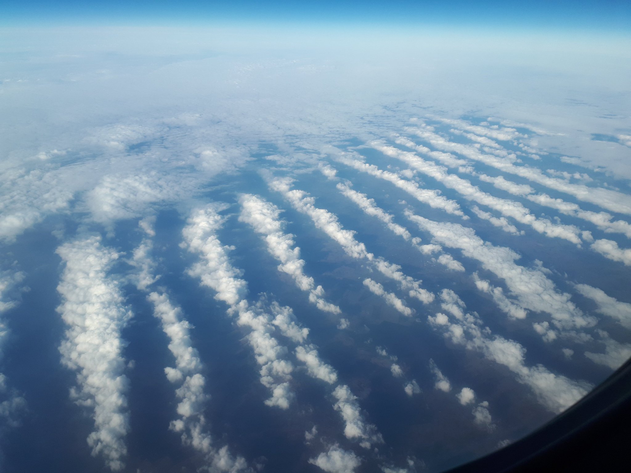
Very high-level, thin, and transparent clouds which cover large areas of the sky.

Cirrus are another form of high-level clouds which appear in wispy or hair-like formations.
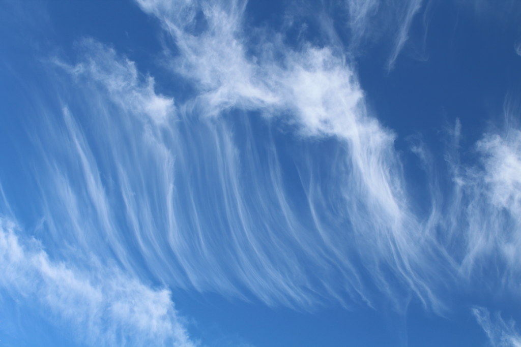
The cumulonimbus is an evolution of the previously mentioned cumulus congestus.
They are huge, with bases many kilometres wide, and have several subvariants.
Not huge by cumulonimbus standards but still an extremely large cloud, the calvus is distinguished by its clearly defined edges and dome-shaped top.
Usually brings rain, snow, or hail, and they can also produce lightning.

The famous anvil cloud - so called because of its shape - and the next stage of the cumulonimbus.
They soar tens of thousands of feet into the atmosphere and can produce very dangerous weather conditions - a powerful stormcloud.

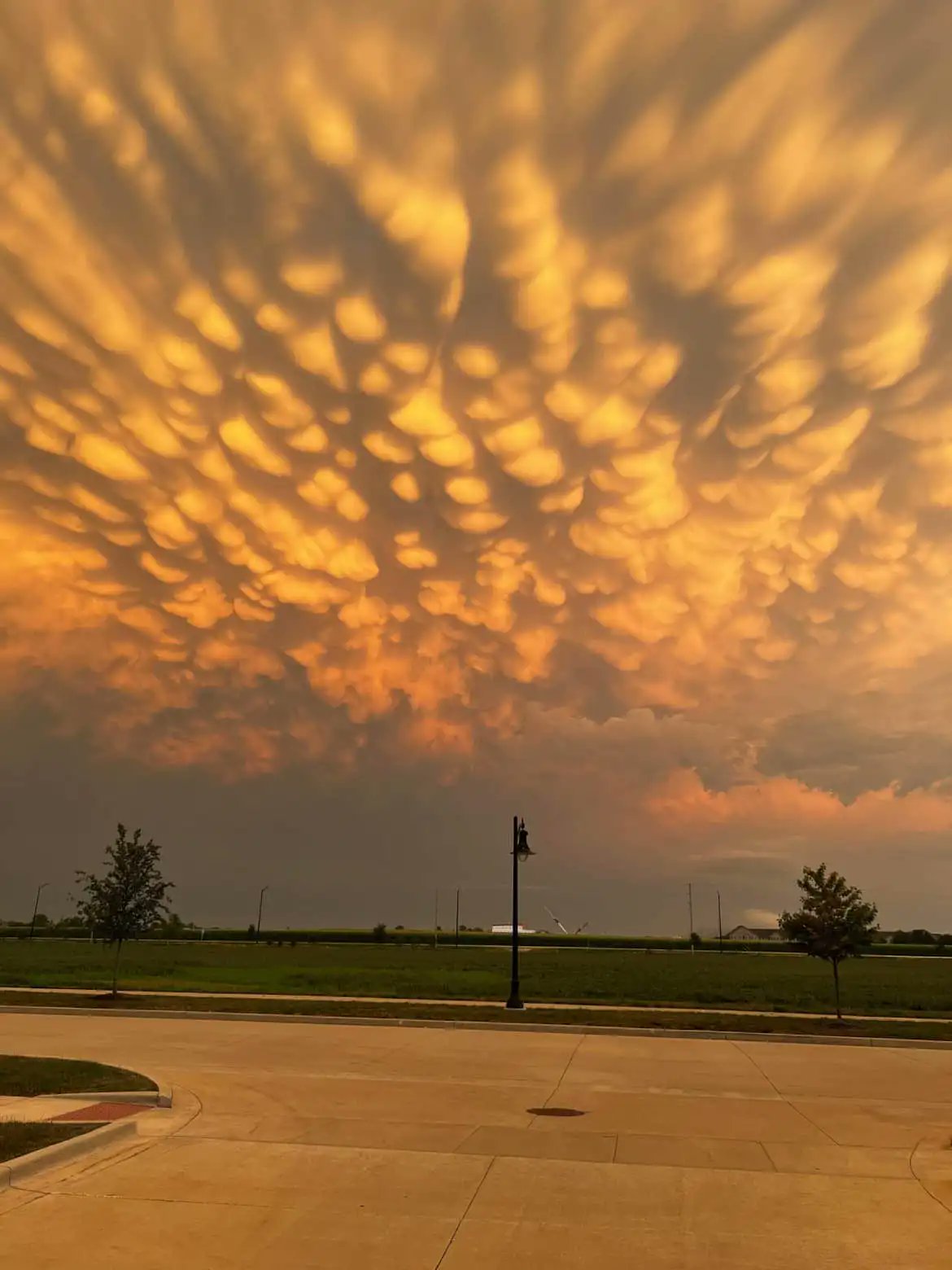
A distinctive pattern which is found on other cloud formations, rather than being a formation of its own.
For example, on the bottom of a cumulonimbus.
Distinguished by the "pouches" of cloud which look like they're hanging down.

Not common but they look incredible. These are low-lying, long, and thin clouds which precede powerful thunderstorms.
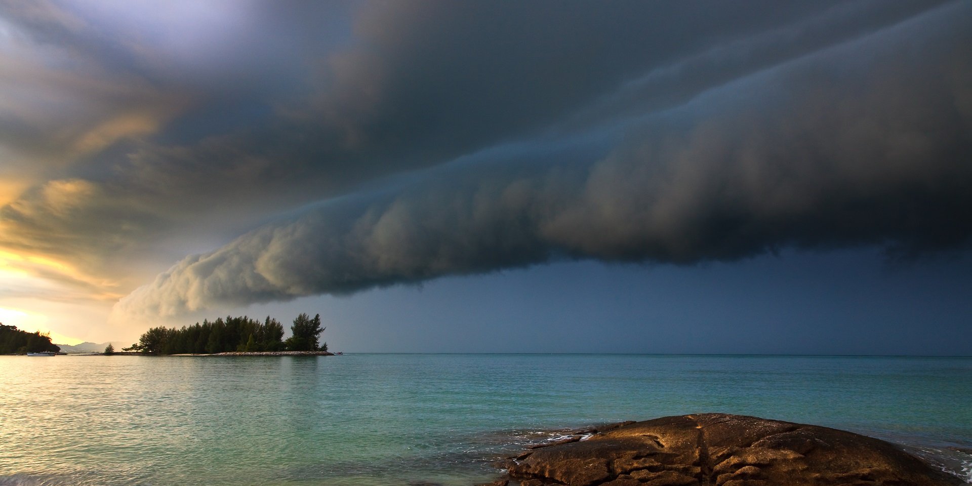
Your typical raincloud. Large, relatively formless layers of dark cloud thick enough to block the sunlight. Usually brings continuous rainfall.
